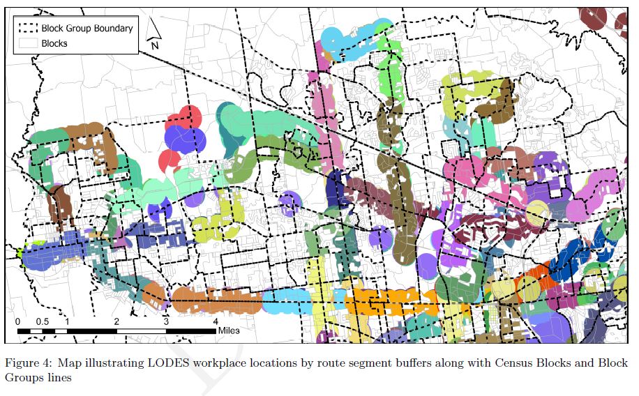
Task: Use Census Geographic & Economic Data with Public Transportation Network (GTFS) data to build the products requested
Action/Techniques or Languages Used/Approach: SQL used to join datasets on common fields. Performed Field calculations for job density within census blocks and block groups boundaries.
SQL used to select jobs within ¼ mile of bus routes.
Map created with ArcGIS
Result: Technique was published in Transportation Research Board Journal and work was presented at the 2018 TRB Conference in Washington, D.C.